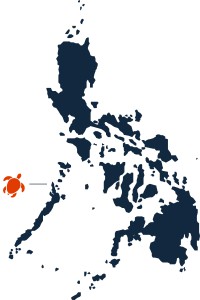
 El Nido is a municipality that is covering a land area of 465.1 square kilometers (179.6 sq mi) in the northernmost tip of mainland Palawan. From the towering marble cliffs and enchanting lagoons, to its 100 white sandy beaches and lush jungle; El Nido is one of the top tourist destinations in the Philippines.
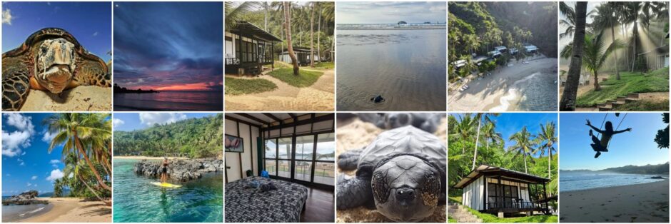
In recognition of the importance of its unique ecosystem, the Philippine government made the entire area of El Nido first to a turtle sanctuary in 1984, then to a marine reserve park in 1991, and finally in 1998, to that of a managed resource protected area.

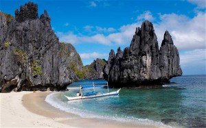
El Nido is located on the Sunda Plate, a plate that is entirely separate from the Philippine Mobile Belt to which the rest of the Philippines belongs. This explains why the limestone cliffs of El Nido are similar to those that can be found in Ha Long Bay (Vietnam), Guilin (China), as well as Krabi (Thailand), all of which are also part of the Sunda Plate.
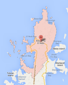
 El Nido Town, the main settlement in the municipality, sits in a sheltered bay and is flanked by the area’s famous limestone cliffs on the eastern section and hills on the western side. It is a small town center with tree-lined streets, and the lifestyle is laid-back.
For most tourists this is the place from which the famous Bacuit Bay is visited.
 Bacuit Bay is dotted with islands and islets, most of which are inhabited. Its clear blue waters are teeming with marine life. It is home to dugongs, turtles, manta rays, species of fishes, coral reefs, and the occasional whale sharks. There are over 30 dive sites ranging in depth from six to more than thirty meters.